
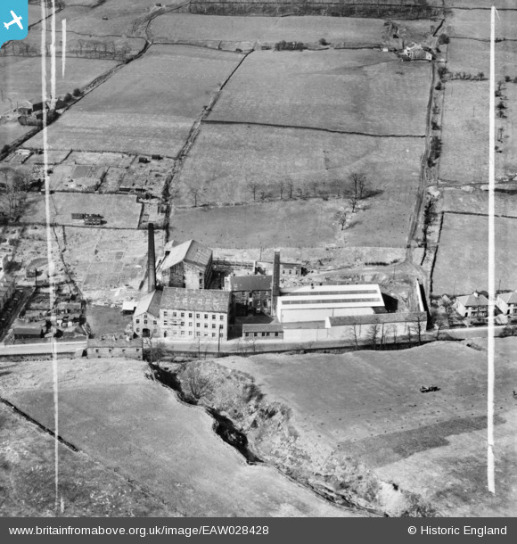
EAW028428 ENGLAND (1950). Broadclough Mill, Broad Clough, 1950. This image was marked by Aerofilms Ltd for photo editing.
© Copyright OpenStreetMap contributors and licensed by the OpenStreetMap Foundation. 2026. Cartography is licensed as CC BY-SA.
Nearby Images (16)
EAW028428

EAW041108

EAW041106

EAW028432

EAW028433

EAW041110

EAW041107

EAW028434

EAW041105

EAW041109

EAW028430

EAW041113

EAW028429

EAW028431

EAW041111

EAW041112

Details
| Title | [EAW028428] Broadclough Mill, Broad Clough, 1950. This image was marked by Aerofilms Ltd for photo editing. |
| Reference | EAW028428 |
| Date | 25-March-1950 |
| Link | |
| Place name | BROAD CLOUGH |
| Parish | |
| District | |
| Country | ENGLAND |
| Easting / Northing | 386687, 424147 |
| Longitude / Latitude | -2.2017346220771, 53.713346862422 |
| National Grid Reference | SD867241 |
Pins
Be the first to add a comment to this image!