
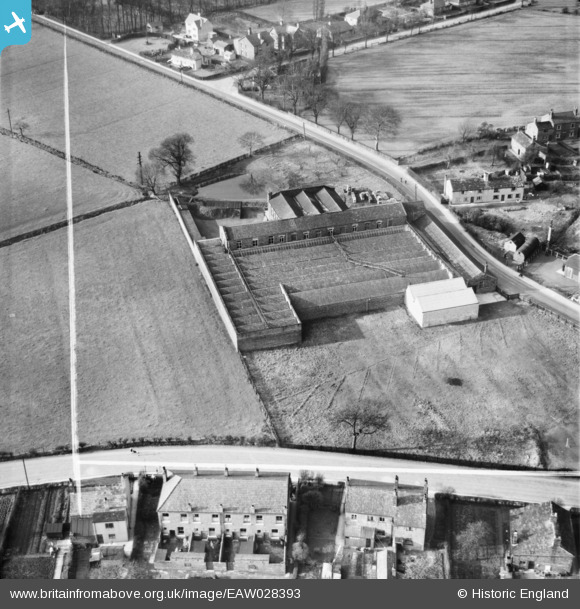
EAW028393 ENGLAND (1950). The Daisy Bank Cotton Mill, Culcheth, 1950. This image was marked by Aerofilms Ltd for photo editing.
© Copyright OpenStreetMap contributors and licensed by the OpenStreetMap Foundation. 2026. Cartography is licensed as CC BY-SA.
Nearby Images (15)
EAW028393

EAW028392

EAW028388

EAW028389

EAW028387

EAW028390

EAW028386

EAW028385

EAW028391

EAW027359

EAW027357

EAW027356

EAW027361

EAW027358

EAW027360

Details
| Title | [EAW028393] The Daisy Bank Cotton Mill, Culcheth, 1950. This image was marked by Aerofilms Ltd for photo editing. |
| Reference | EAW028393 |
| Date | 25-March-1950 |
| Link | |
| Place name | CULCHETH |
| Parish | CULCHETH AND GLAZEBURY |
| District | |
| Country | ENGLAND |
| Easting / Northing | 365288, 395348 |
| Longitude / Latitude | -2.5227835502435, 53.453489135441 |
| National Grid Reference | SJ653953 |
Pins
Be the first to add a comment to this image!