
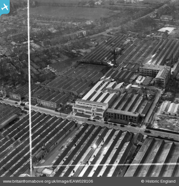
EAW028106 ENGLAND (1950). Factories along West Road, Tottenham, 1950. This image has been produced from a print marked by Aerofilms Ltd for photo editing.
© Copyright OpenStreetMap contributors and licensed by the OpenStreetMap Foundation. 2026. Cartography is licensed as CC BY-SA.
Nearby Images (24)
EAW028106

EAW028539

EAW025332

EAW028107

EAW028544

EAW028538

EAW028541

EAW028542

EAW028545

EAW025326

EAW025323

EAW028109

EAW025330

EAW028540

EAW028543

EAW025324

EAW028105

EAW028104

EAW025327

EAW025329

EAW028108

EAW025328

EAW025331

EAW025325

Details
| Title | [EAW028106] Factories along West Road, Tottenham, 1950. This image has been produced from a print marked by Aerofilms Ltd for photo editing. |
| Reference | EAW028106 |
| Date | 13-March-1950 |
| Link | |
| Place name | TOTTENHAM |
| Parish | |
| District | |
| Country | ENGLAND |
| Easting / Northing | 534607, 191542 |
| Longitude / Latitude | -0.05598424710176, 51.606132286983 |
| National Grid Reference | TQ346915 |
Pins

Sparky |
Wednesday 6th of September 2017 11:28:28 PM |