
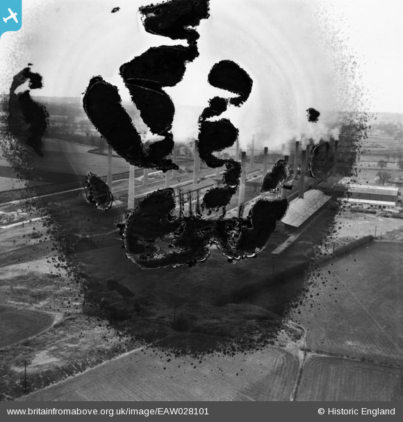
EAW028101 ENGLAND (1950). The Ridgmont Brickworks, Brogborough, from the north-west, 1950. This image has been produced from a damaged negative.
© Copyright OpenStreetMap contributors and licensed by the OpenStreetMap Foundation. 2026. Cartography is licensed as CC BY-SA.
Nearby Images (4)
EAW028101

EPW050326

EAW028102

EPW050325

Details
| Title | [EAW028101] The Ridgmont Brickworks, Brogborough, from the north-west, 1950. This image has been produced from a damaged negative. |
| Reference | EAW028101 |
| Date | 9-March-1950 |
| Link | |
| Place name | BROGBOROUGH |
| Parish | BROGBOROUGH |
| District | |
| Country | ENGLAND |
| Easting / Northing | 496766, 238147 |
| Longitude / Latitude | -0.58925246004763, 52.032855826396 |
| National Grid Reference | SP968381 |
Pins
Be the first to add a comment to this image!