
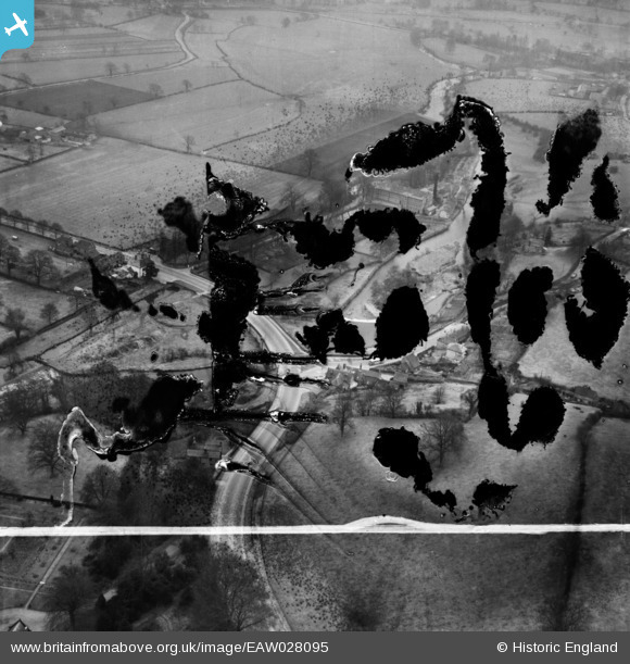
EAW028095 ENGLAND (1950). Alrewas Mill and environs, Clifton, 1950. This image has been produced from a damaged negative.
© Copyright OpenStreetMap contributors and licensed by the OpenStreetMap Foundation. 2026. Cartography is licensed as CC BY-SA.
Nearby Images (9)
EAW028095

EAW028094

EAW028089

EAW028090

EAW028093

EAW028087

EAW028085

EAW028091

EAW028086

Details
| Title | [EAW028095] Alrewas Mill and environs, Clifton, 1950. This image has been produced from a damaged negative. |
| Reference | EAW028095 |
| Date | 9-March-1950 |
| Link | |
| Place name | CLIFTON |
| Parish | CLIFTON AND COMPTON |
| District | |
| Country | ENGLAND |
| Easting / Northing | 415819, 345760 |
| Longitude / Latitude | -1.7642140365542, 53.00860958224 |
| National Grid Reference | SK158458 |
Pins
Be the first to add a comment to this image!