
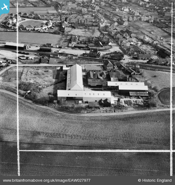
EAW027977 ENGLAND (1950). The Chatteris Engineering Works, Chatteris, 1950. This image was marked by Aerofilms Ltd for photo editing.
© Copyright OpenStreetMap contributors and licensed by the OpenStreetMap Foundation. 2026. Cartography is licensed as CC BY-SA.
Nearby Images (11)
EAW027977

EAW027975

EAW027979

EAW027974

EAW027978

EAW027982

EAW027981

EAW027976

EAW027972

EAW027973

EAW027980

Details
| Title | [EAW027977] The Chatteris Engineering Works, Chatteris, 1950. This image was marked by Aerofilms Ltd for photo editing. |
| Reference | EAW027977 |
| Date | 17-February-1950 |
| Link | |
| Place name | CHATTERIS |
| Parish | CHATTERIS |
| District | |
| Country | ENGLAND |
| Easting / Northing | 538637, 286005 |
| Longitude / Latitude | 0.04046990936551, 52.454007963517 |
| National Grid Reference | TL386860 |
Pins

rogermunns |
Tuesday 13th of September 2016 11:08:20 PM | |
|
rogermunns |
Wednesday 27th of April 2016 01:39:32 AM |