
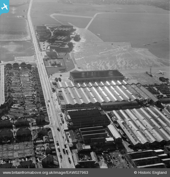
EAW027963 ENGLAND (1950). Purley Way and factories and terminal buildings at Croydon Airport, Croydon, 1950
© Copyright OpenStreetMap contributors and licensed by the OpenStreetMap Foundation. 2026. Cartography is licensed as CC BY-SA.
Nearby Images (22)
EAW027963

EAW027970

EAW027964

EAW027969

EAW027971

EAW027966

EAW027961

EAW027967

EAW027968

EAW027965

EAW052835
 at Croydon Airport, Croydon, 1953. This image was marked by Aerofilms Ltd for photo editing.")
EAW052834
 at Croydon Airport, Croydon, 1953. This image was marked by Aerofilms Ltd for photo editing.")
EAW026141
, Croydon, 1949. This image was marked by Aerofilms Ltd for photo editing.")
EAW026139
 and Croydon Airport, Croydon, 1949. This image has been produced from a print.")
EAW052832
 at Croydon Airport, Croydon, 1953. This image was marked by Aerofilms Ltd for photo editing.")
EAW026140
, Croydon, 1949. This image was marked by Aerofilms Ltd for photo editing.")
EAW052833
 alongside Aerodrome Hotel at Croydon Airport, Croydon, 1953. This image was marked by Aerofilms Ltd for photo editing.")
EAW026142
, Croydon, 1949. This image was marked by Aerofilms Ltd for photo editing.")
EAW026143
, Croydon, 1949")
EAW026146
, Croydon, 1949")
EPW018114

EAW026145
, Croydon, 1949")
Details
| Title | [EAW027963] Purley Way and factories and terminal buildings at Croydon Airport, Croydon, 1950 |
| Reference | EAW027963 |
| Date | 14-March-1950 |
| Link | |
| Place name | CROYDON |
| Parish | |
| District | |
| Country | ENGLAND |
| Easting / Northing | 531089, 163926 |
| Longitude / Latitude | -0.11701491841478, 51.358759568492 |
| National Grid Reference | TQ311639 |
Pins
Be the first to add a comment to this image!