
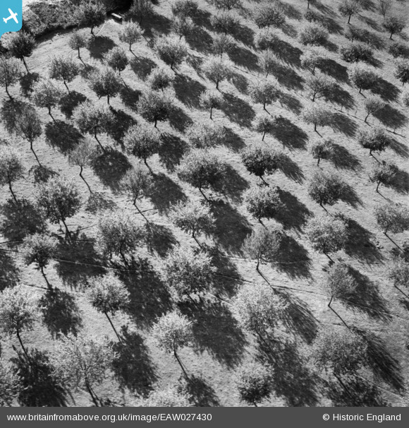
EAW027430 ENGLAND (1949). Trees casting shadows, Withington, 1949
© Copyright OpenStreetMap contributors and licensed by the OpenStreetMap Foundation. 2026. Cartography is licensed as CC BY-SA.
Nearby Images (13)
EAW027430

EAW027429

EAW027425

EAW027424

EAW027422

EAW027418

EAW027420

EAW027421

EAW027427

EAW027428

EAW027423

EAW027419

EAW027426

Details
| Title | [EAW027430] Trees casting shadows, Withington, 1949 |
| Reference | EAW027430 |
| Date | 27-October-1949 |
| Link | |
| Place name | WITHINGTON |
| Parish | WITHINGTON |
| District | |
| Country | ENGLAND |
| Easting / Northing | 356720, 242498 |
| Longitude / Latitude | -2.6316116410655, 52.078731884052 |
| National Grid Reference | SO567425 |
Pins
Be the first to add a comment to this image!