
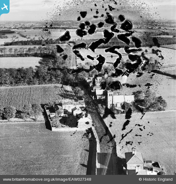
EAW027348 ENGLAND (1949). St Michael and All Angels' Church and surrounding properties, Beckwithshaw, 1949. This image has been produced from a damaged negative.
© Copyright OpenStreetMap contributors and licensed by the OpenStreetMap Foundation. 2026. Cartography is licensed as CC BY-SA.
Nearby Images (2)
EAW027348

EAW027347

Details
| Title | [EAW027348] St Michael and All Angels' Church and surrounding properties, Beckwithshaw, 1949. This image has been produced from a damaged negative. |
| Reference | EAW027348 |
| Date | 24-October-1949 |
| Link | |
| Place name | BECKWITHSHAW |
| Parish | PANNAL |
| District | |
| Country | ENGLAND |
| Easting / Northing | 426800, 453201 |
| Longitude / Latitude | -1.5913631474192, 53.973986695489 |
| National Grid Reference | SE268532 |
Pins
Be the first to add a comment to this image!