
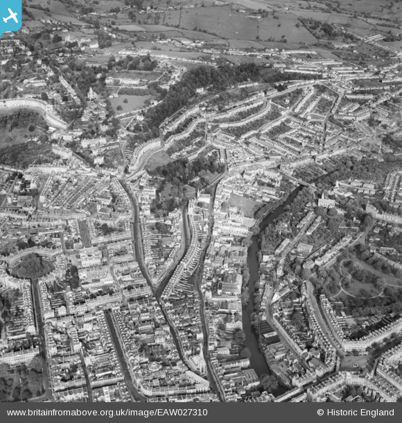
EAW027310 ENGLAND (1949). Lansdown Road, Hedgemead Park and the surrounding city, Bath, 1949
© Copyright OpenStreetMap contributors and licensed by the OpenStreetMap Foundation. 2026. Cartography is licensed as CC BY-SA.
Nearby Images (4)
EAW027310

EPW053140

EPW048381

EPW033152

Details
| Title | [EAW027310] Lansdown Road, Hedgemead Park and the surrounding city, Bath, 1949 |
| Reference | EAW027310 |
| Date | 19-October-1949 |
| Link | |
| Place name | BATH |
| Parish | |
| District | |
| Country | ENGLAND |
| Easting / Northing | 375085, 165555 |
| Longitude / Latitude | -2.358097753097, 51.387994092372 |
| National Grid Reference | ST751656 |
Pins
Be the first to add a comment to this image!