
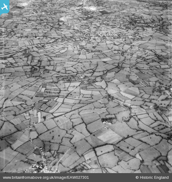
EAW027301 ENGLAND (1949). The village of Moreton and site of Chew Valley Lake, North Widcombe, from the south-east, 1949
© Copyright OpenStreetMap contributors and licensed by the OpenStreetMap Foundation. 2026. Cartography is licensed as CC BY-SA.
Nearby Images (2)
EAW027301

EAW027302

Details
| Title | [EAW027301] The village of Moreton and site of Chew Valley Lake, North Widcombe, from the south-east, 1949 |
| Reference | EAW027301 |
| Date | 19-October-1949 |
| Link | |
| Place name | NORTH WIDCOMBE |
| Parish | WEST HARPTREE |
| District | |
| Country | ENGLAND |
| Easting / Northing | 356370, 157842 |
| Longitude / Latitude | -2.6261245980899, 51.317506716695 |
| National Grid Reference | ST564578 |
Pins

redmist |
Saturday 31st of October 2020 09:20:46 PM | |
|
redmist |
Saturday 31st of October 2020 08:14:57 PM | |
|
redmist |
Saturday 31st of October 2020 11:57:03 AM |