
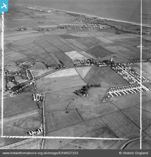
EAW027153 ENGLAND (1949). Burgh Road and the surrounding area, Skegness, 1949. This image was marked by Aerofilms Ltd for photo editing.
© Copyright OpenStreetMap contributors and licensed by the OpenStreetMap Foundation. 2026. Cartography is licensed as CC BY-SA.
Nearby Images (5)
EAW027153

EAW027155

EAW027151

EAW027152

EAW027160

Details
| Title | [EAW027153] Burgh Road and the surrounding area, Skegness, 1949. This image was marked by Aerofilms Ltd for photo editing. |
| Reference | EAW027153 |
| Date | 12-October-1949 |
| Link | |
| Place name | SKEGNESS |
| Parish | SKEGNESS |
| District | |
| Country | ENGLAND |
| Easting / Northing | 555420, 364380 |
| Longitude / Latitude | 0.32454300604445, 53.153551605886 |
| National Grid Reference | TF554644 |
