
EAW026670 ENGLAND (1949). Farmland, Herons Green, 1949. This image has been produced from a damaged negative.

© Copyright OpenStreetMap contributors and licensed by the OpenStreetMap Foundation. 2026. Cartography is licensed as CC BY-SA.
Nearby Images (2)
EAW026670

EAW026675

Details
| Title | [EAW026670] Farmland, Herons Green, 1949. This image has been produced from a damaged negative. |
| Reference | EAW026670 |
| Date | 1-October-1949 |
| Link | |
| Place name | HERONS GREEN |
| Parish | CHEW STOKE |
| District | |
| Country | ENGLAND |
| Easting / Northing | 354975, 159426 |
| Longitude / Latitude | -2.6463427825974, 51.33164164424 |
| National Grid Reference | ST550594 |
Pins
 |

Class31 |
Tuesday 18th of March 2014 05:17:45 PM |
|
Class31 |
Monday 17th of March 2014 10:46:35 AM | |
It's nice to have these photos from what must have been preparatory work for the Lake, albeit their condition is mostly poor. We’ll update the catalogue with your new location data and post the revised record here in due course. Yours, Katy Britain from Above Cataloguing Team Leader |
Katy Whitaker |
Tuesday 29th of April 2014 01:59:20 PM |
|
Class31 |
Monday 17th of March 2014 08:17:13 AM | |
|
Class31 |
Monday 17th of March 2014 08:15:41 AM | |
|
Class31 |
Monday 17th of March 2014 08:14:59 AM | |
The Post Code finder calls this Bristol Road. Google maps calls it Chapel Lane. |
Class31 |
Monday 17th of March 2014 10:33:46 AM |

TomRobin |
Thursday 13th of March 2014 09:42:12 AM | |
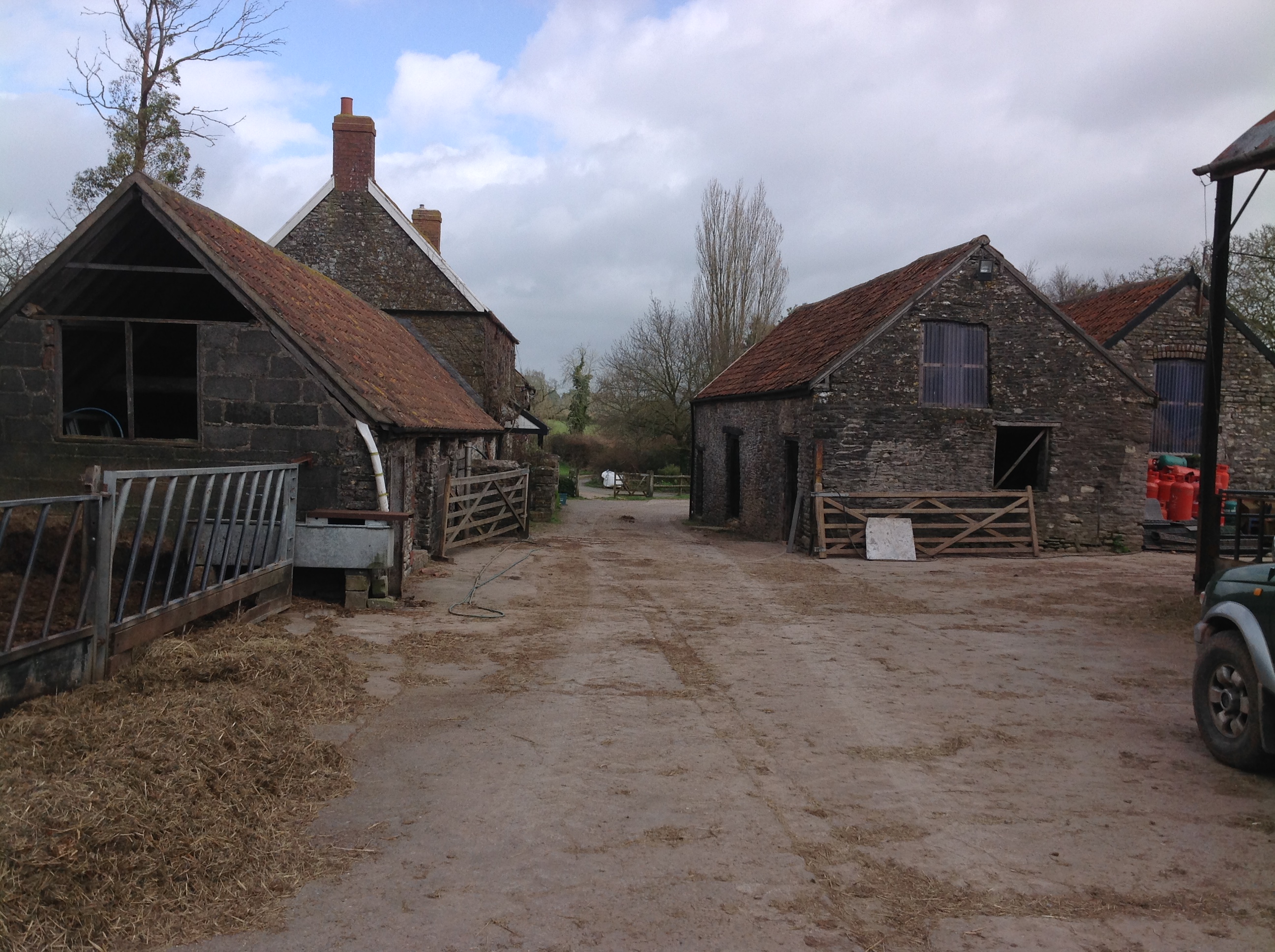
Herons Green Farm |
Class31 |
Monday 17th of March 2014 08:16:11 AM |
|
Class31 |
Sunday 23rd of February 2014 11:56:12 AM |
User Comment Contributions
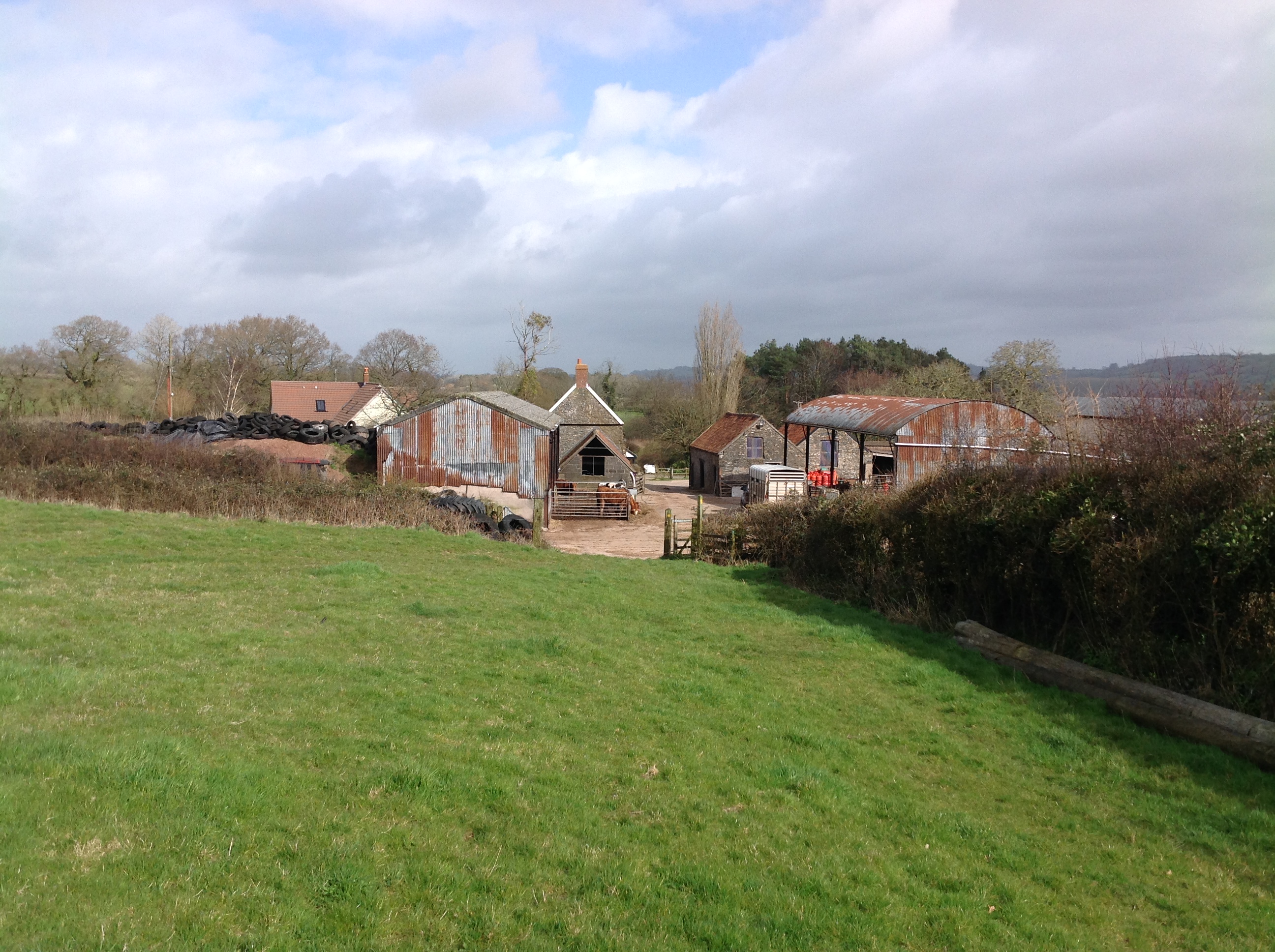
Herons Green Farm, 18/03/2014. Looking east. |
Class31 |
Tuesday 13th of January 2015 08:22:47 AM |
Herons Green Farm, 18/03/2014. Looking east. |
Class31 |
Tuesday 13th of January 2015 08:22:15 AM |
Herons Green Farm, 18/03/2014. Looking west. |
Class31 |
Tuesday 13th of January 2015 08:21:42 AM |
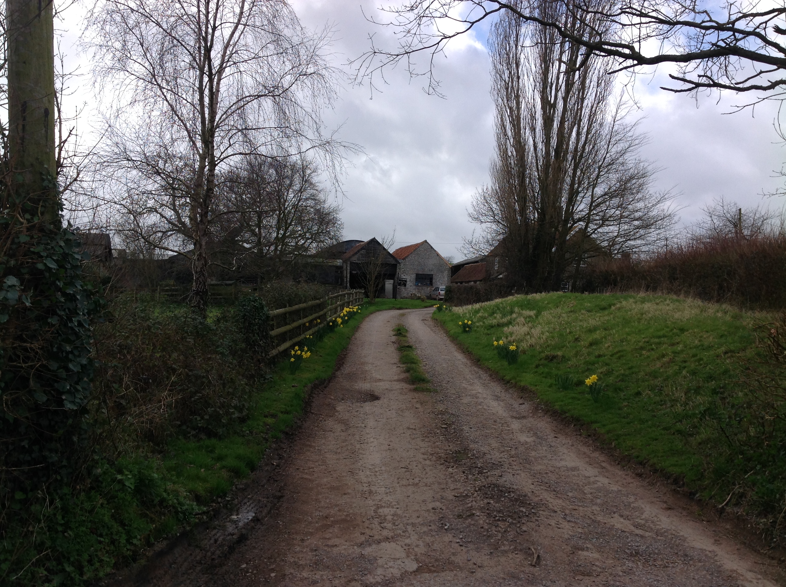
View looking east. |
Class31 |
Monday 17th of March 2014 08:18:01 AM |
EAW026669 EAW026670 EAW026671 EAW026672 EAW026673 EAW026674 EAW026675 and EAW026679 are all of the same area. |
Class31 |
Sunday 23rd of February 2014 06:36:55 PM |
same place as EAW026669, see kink in road to right |
TomRobin |
Thursday 20th of February 2014 02:09:33 PM |