
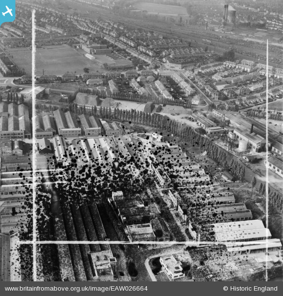
EAW026664 ENGLAND (1949). The Carrier Engineering Co Works and the surrounding residential area, Alperton, 1949. This image has been produced from a damaged negative.
© Copyright OpenStreetMap contributors and licensed by the OpenStreetMap Foundation. 2026. Cartography is licensed as CC BY-SA.
Nearby Images (45)
EAW026664

EAW026668

EAW026662

EAW026666

EAW026665

EPW056466

EPW056757

EPW056420
, Alperton, 1938")
EPW056419
, Alperton, 1938")
EAW026667

EPW056418
, Alperton, 1938. This image has been affected by flare.")
EPW056416
, Alperton, 1938")
EPW056460

EPW056461

EPW056417
, Alperton, 1938")
EAW026663

EPW056414
, Alperton, 1938")
EPW056462

EPW056760

EPW056762

EPW056759

EPW056761

EPW056415
, Alperton, 1938")
EPW056465

EPW056463

EPW056763

EPW056758

EPW056464

EAW017043

EAW017038

EAW017037

EAW017044

EAW017040

EAW017042

EAW017045

EAW017041

EPW051673

EPW051680

EPW056088

EPW053020

EPW052478

EPW056086

EPW053021

EPW051674

EPW051678

Details
| Title | [EAW026664] The Carrier Engineering Co Works and the surrounding residential area, Alperton, 1949. This image has been produced from a damaged negative. |
| Reference | EAW026664 |
| Date | 28-September-1949 |
| Link | |
| Place name | ALPERTON |
| Parish | |
| District | |
| Country | ENGLAND |
| Easting / Northing | 519017, 183738 |
| Longitude / Latitude | -0.28366592750807, 51.539498965109 |
| National Grid Reference | TQ190837 |
Pins
Be the first to add a comment to this image!