
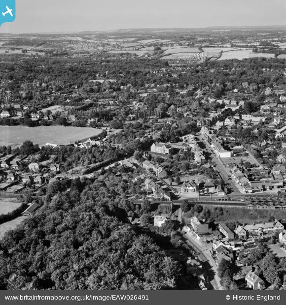
EAW026491 ENGLAND (1949). Station Road, Hill Avenue and environs, Amersham, from the south, 1949
© Copyright OpenStreetMap contributors and licensed by the OpenStreetMap Foundation. 2026. Cartography is licensed as CC BY-SA.
Nearby Images (3)
EAW026491

EAW026490

EPW017832

Details
| Title | [EAW026491] Station Road, Hill Avenue and environs, Amersham, from the south, 1949 |
| Reference | EAW026491 |
| Date | 10-September-1949 |
| Link | |
| Place name | AMERSHAM |
| Parish | AMERSHAM |
| District | |
| Country | ENGLAND |
| Easting / Northing | 496273, 198205 |
| Longitude / Latitude | -0.60756554814653, 51.673891591661 |
| National Grid Reference | SU963982 |
