
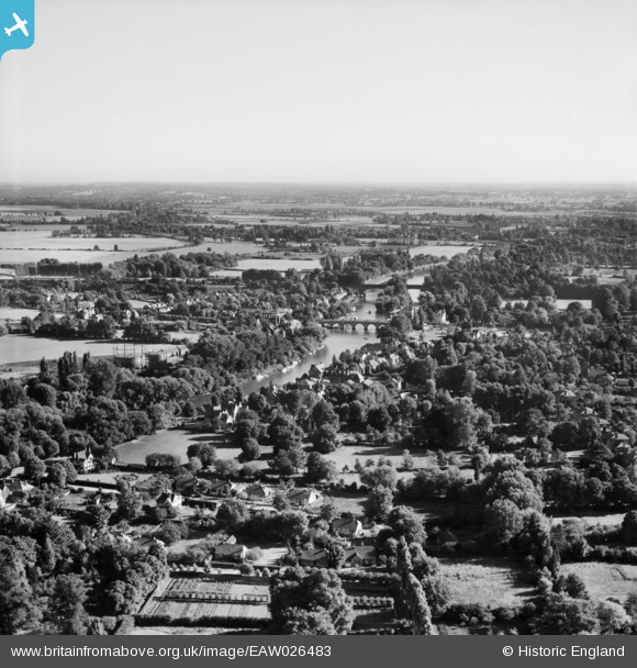
EAW026483 ENGLAND (1949). Maidenhead Bridge, the River Thames and environs, Maidenhead, from the north-west, 1949
© Copyright OpenStreetMap contributors and licensed by the OpenStreetMap Foundation. 2026. Cartography is licensed as CC BY-SA.
Nearby Images (2)
EAW026483

EAW003665

Details
| Title | [EAW026483] Maidenhead Bridge, the River Thames and environs, Maidenhead, from the north-west, 1949 |
| Reference | EAW026483 |
| Date | 10-September-1949 |
| Link | |
| Place name | MAIDENHEAD |
| Parish | |
| District | |
| Country | ENGLAND |
| Easting / Northing | 490068, 181886 |
| Longitude / Latitude | -0.7014769424132, 51.528212679125 |
| National Grid Reference | SU901819 |
Pins
Be the first to add a comment to this image!