
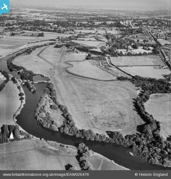
EAW026476 ENGLAND (1949). Windsor, Race day at Royal Windsor Racecourse, from the west, 1949
© Copyright OpenStreetMap contributors and licensed by the OpenStreetMap Foundation. 2026. Cartography is licensed as CC BY-SA.
Nearby Images (4)
EAW026476

EAW003790

EAW026463

EAW026478

Details
| Title | [EAW026476] Windsor, Race day at Royal Windsor Racecourse, from the west, 1949 |
| Reference | EAW026476 |
| Date | 10-September-1949 |
| Link | |
| Place name | WINDSOR |
| Parish | |
| District | |
| Country | ENGLAND |
| Easting / Northing | 494073, 177528 |
| Longitude / Latitude | -0.64491624037646, 51.488381192538 |
| National Grid Reference | SU941775 |
Pins

designking |
Sunday 14th of September 2014 05:04:32 PM | |
|
designking |
Sunday 14th of September 2014 04:59:12 PM |