
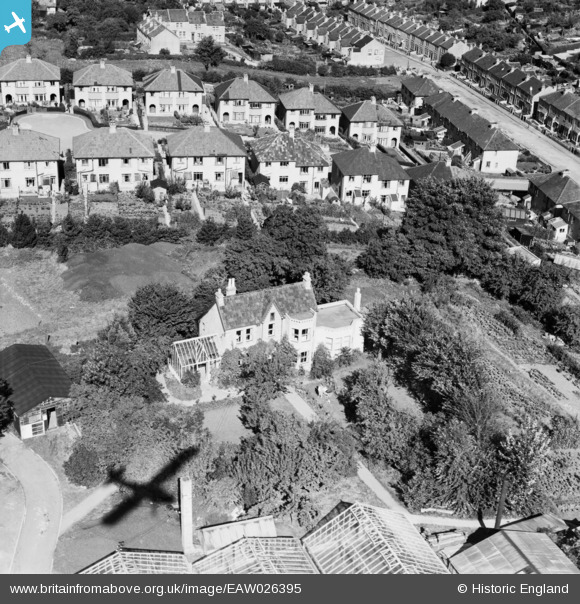
EAW026395 ENGLAND (1949). Southdown House, Southdown, 1949
© Copyright OpenStreetMap contributors and licensed by the OpenStreetMap Foundation. 2026. Cartography is licensed as CC BY-SA.
Nearby Images (12)
EAW026395

EAW026396

EAW026394

EAW026393

EAW026390

EAW032291

EAW032287

EAW032289

EAW032292

EAW026389

EAW026392

EPW022216

Details
| Title | [EAW026395] Southdown House, Southdown, 1949 |
| Reference | EAW026395 |
| Date | 8-September-1949 |
| Link | |
| Place name | SOUTHDOWN |
| Parish | |
| District | |
| Country | ENGLAND |
| Easting / Northing | 373120, 163730 |
| Longitude / Latitude | -2.3862014602006, 51.371493103011 |
| National Grid Reference | ST731637 |
