
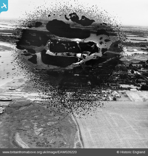
EAW026220 ENGLAND (1949). The village (site of), West Itchenor, from the west, 1949. This image has been produced from a damaged negative.
© Copyright OpenStreetMap contributors and licensed by the OpenStreetMap Foundation. 2026. Cartography is licensed as CC BY-SA.
Nearby Images (2)
EAW026220
, West Itchenor, from the west, 1949. This image has been produced from a damaged negative.")
EAW026213

Details
| Title | [EAW026220] The village (site of), West Itchenor, from the west, 1949. This image has been produced from a damaged negative. |
| Reference | EAW026220 |
| Date | 12-August-1949 |
| Link | |
| Place name | WEST ITCHENOR |
| Parish | WEST ITCHENOR |
| District | |
| Country | ENGLAND |
| Easting / Northing | 479746, 101478 |
| Longitude / Latitude | -0.86809546810717, 50.806798099554 |
| National Grid Reference | SU797015 |
Pins
Be the first to add a comment to this image!