
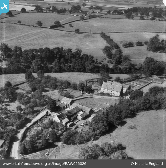
EAW026026 ENGLAND (1949). Abbey Road, The Priory and environs, Knaresborough, 1949. This image has been produced from a print.
© Copyright OpenStreetMap contributors and licensed by the OpenStreetMap Foundation. 2026. Cartography is licensed as CC BY-SA.
Nearby Images (7)
EAW026026

EAW026025

EAW026027

EAW026028

EAW026031

EAW026024

EAW026032
 and environs, Knaresborough, 1949. This image has been produced from a damaged negative.")
Details
| Title | [EAW026026] Abbey Road, The Priory and environs, Knaresborough, 1949. This image has been produced from a print. |
| Reference | EAW026026 |
| Date | 14-August-1949 |
| Link | |
| Place name | KNARESBOROUGH |
| Parish | KNARESBOROUGH |
| District | |
| Country | ENGLAND |
| Easting / Northing | 435708, 455605 |
| Longitude / Latitude | -1.4552611810295, 53.995056028492 |
| National Grid Reference | SE357556 |
Pins
Be the first to add a comment to this image!