
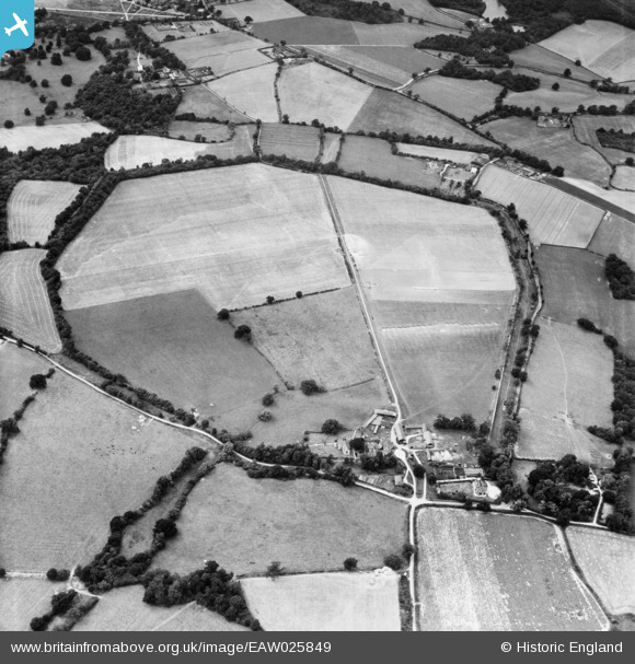
EAW025849 ENGLAND (1949). The site of Calleva Atrebatum Roman town, Silchester, 1949
© Copyright OpenStreetMap contributors and licensed by the OpenStreetMap Foundation. 2026. Cartography is licensed as CC BY-SA.
Nearby Images (3)
EAW025849

EAW025848

EAW025850

Details
| Title | [EAW025849] The site of Calleva Atrebatum Roman town, Silchester, 1949 |
| Reference | EAW025849 |
| Date | 10-August-1949 |
| Link | |
| Place name | SILCHESTER |
| Parish | SILCHESTER |
| District | |
| Country | ENGLAND |
| Easting / Northing | 464060, 162411 |
| Longitude / Latitude | -1.0799008912055, 51.356655255981 |
| National Grid Reference | SU641624 |
Pins

gBr |
Tuesday 19th of January 2016 09:02:01 PM |