
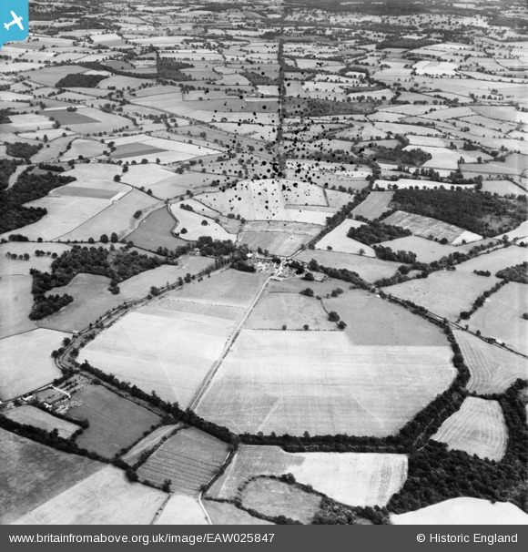
EAW025847 ENGLAND (1949). The site of Calleva Atrebatum Roman town, Silchester, 1949. This image has been produced from a damaged negative.
© Copyright OpenStreetMap contributors and licensed by the OpenStreetMap Foundation. 2026. Cartography is licensed as CC BY-SA.
Nearby Images (2)
EAW025847

EAW025851

Details
| Title | [EAW025847] The site of Calleva Atrebatum Roman town, Silchester, 1949. This image has been produced from a damaged negative. |
| Reference | EAW025847 |
| Date | 10-August-1949 |
| Link | |
| Place name | SILCHESTER |
| Parish | SILCHESTER |
| District | |
| Country | ENGLAND |
| Easting / Northing | 464389, 162478 |
| Longitude / Latitude | -1.075163964621, 51.357220487633 |
| National Grid Reference | SU644625 |
Pins
Be the first to add a comment to this image!