
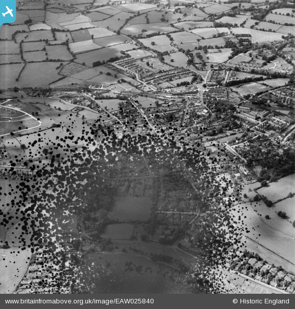
EAW025840 ENGLAND (1949). The town, Petersfield, 1949. This image has been produced from a damaged negative.
© Copyright OpenStreetMap contributors and licensed by the OpenStreetMap Foundation. 2026. Cartography is licensed as CC BY-SA.
Nearby Images (4)
EAW025840

EAW025841

EAW025842

EAW025843

Details
| Title | [EAW025840] The town, Petersfield, 1949. This image has been produced from a damaged negative. |
| Reference | EAW025840 |
| Date | 10-August-1949 |
| Link | |
| Place name | PETERSFIELD |
| Parish | PETERSFIELD |
| District | |
| Country | ENGLAND |
| Easting / Northing | 474624, 123209 |
| Longitude / Latitude | -0.93633894101531, 51.002883218658 |
| National Grid Reference | SU746232 |
Pins

flubber |
Saturday 11th of August 2018 03:56:31 PM | |
|
flubber |
Saturday 11th of August 2018 03:55:34 PM | |
|
flubber |
Saturday 11th of August 2018 03:54:15 PM | |
|
flubber |
Saturday 11th of August 2018 03:53:35 PM | |
|
flubber |
Saturday 11th of August 2018 03:52:49 PM | |
|
David960 |
Tuesday 3rd of March 2015 08:22:03 PM | |

Class31 |
Monday 18th of August 2014 11:15:32 AM | |
|
Class31 |
Monday 18th of August 2014 11:10:41 AM | |
|
Class31 |
Monday 18th of August 2014 10:56:08 AM | |
|
Class31 |
Monday 18th of August 2014 10:40:07 AM | |
|
Class31 |
Monday 18th of August 2014 10:33:51 AM |


