
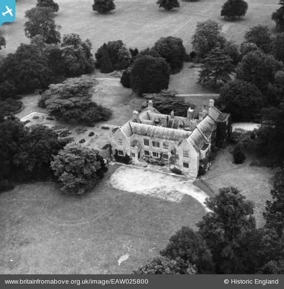
EAW025800 ENGLAND (1949). Bisterne Manor, Bisterne, 1949. This image has been produced from a print.
© Copyright OpenStreetMap contributors and licensed by the OpenStreetMap Foundation. 2026. Cartography is licensed as CC BY-SA.
Nearby Images (5)
EAW025800

EAW025799

EAW025797

EAW025798

EAW025796

Details
| Title | [EAW025800] Bisterne Manor, Bisterne, 1949. This image has been produced from a print. |
| Reference | EAW025800 |
| Date | 10-August-1949 |
| Link | |
| Place name | BISTERNE |
| Parish | RINGWOOD |
| District | |
| Country | ENGLAND |
| Easting / Northing | 415108, 100793 |
| Longitude / Latitude | -1.7855656407322, 50.805931256706 |
| National Grid Reference | SU151008 |
Pins
Be the first to add a comment to this image!