
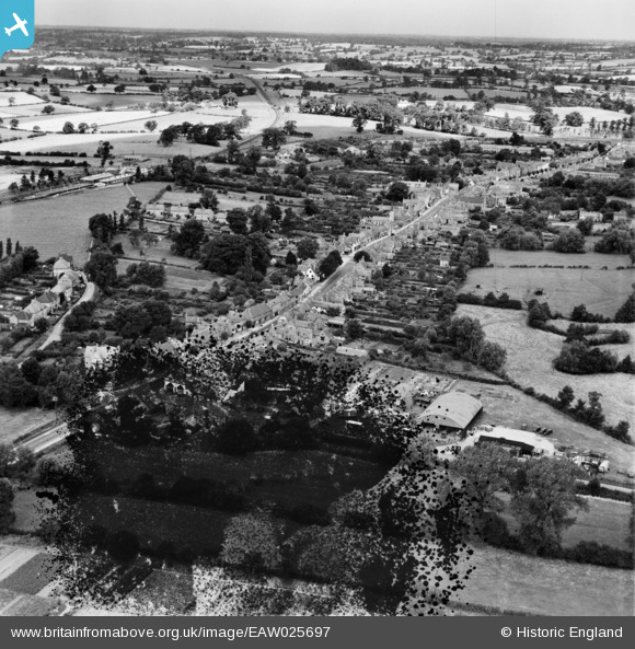
EAW025697 ENGLAND (1949). The High Street and town, Henley-in-Arden, from the south-east, 1949. This image has been produced from a damaged negative.
© Copyright OpenStreetMap contributors and licensed by the OpenStreetMap Foundation. 2026. Cartography is licensed as CC BY-SA.
Nearby Images (3)
EAW025697

EPW034335

EPW034336

Details
| Title | [EAW025697] The High Street and town, Henley-in-Arden, from the south-east, 1949. This image has been produced from a damaged negative. |
| Reference | EAW025697 |
| Date | 4-August-1949 |
| Link | |
| Place name | HENLEY-IN-ARDEN |
| Parish | HENLEY-IN-ARDEN |
| District | |
| Country | ENGLAND |
| Easting / Northing | 415143, 265528 |
| Longitude / Latitude | -1.7779736333225, 52.287288603665 |
| National Grid Reference | SP151655 |
Pins
Be the first to add a comment to this image!