
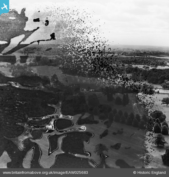
EAW025683 ENGLAND (1949). Stoneleigh Abbey (site of), Stoneleigh, from the north, 1949. This image has been produced from a damaged negative.
© Copyright OpenStreetMap contributors and licensed by the OpenStreetMap Foundation. 2026. Cartography is licensed as CC BY-SA.
Nearby Images (5)
EAW025683
, Stoneleigh, from the north, 1949. This image has been produced from a damaged negative.")
EAW003599

EAW003598

EAW003597

EAW025684
, Stoneleigh, from the south, 1949. This image has been produced from a damaged negative.")
Details
| Title | [EAW025683] Stoneleigh Abbey (site of), Stoneleigh, from the north, 1949. This image has been produced from a damaged negative. |
| Reference | EAW025683 |
| Date | 4-August-1949 |
| Link | |
| Place name | STONELEIGH |
| Parish | STONELEIGH |
| District | |
| Country | ENGLAND |
| Easting / Northing | 431802, 271387 |
| Longitude / Latitude | -1.5331723023346, 52.339254928032 |
| National Grid Reference | SP318714 |
Pins
Be the first to add a comment to this image!