
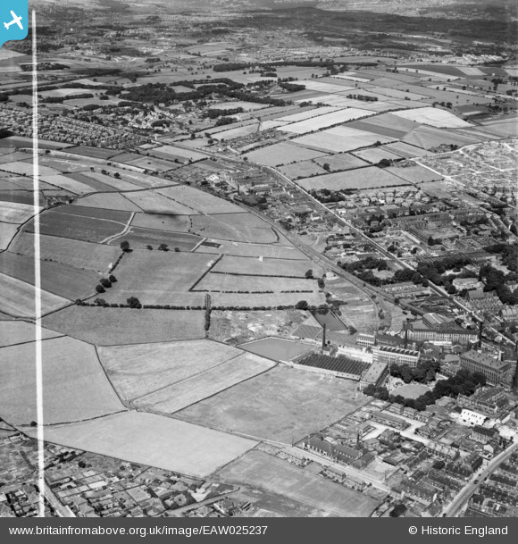
EAW025237 ENGLAND (1949). The Leigh Worsted Mills and the surrounding area, Pudsey, 1949. This image was marked by Aerofilms Ltd for photo editing.
© Copyright OpenStreetMap contributors and licensed by the OpenStreetMap Foundation. 2026. Cartography is licensed as CC BY-SA.
Nearby Images (2)
EAW025237

EPW034274

Details
| Title | [EAW025237] The Leigh Worsted Mills and the surrounding area, Pudsey, 1949. This image was marked by Aerofilms Ltd for photo editing. |
| Reference | EAW025237 |
| Date | 26-July-1949 |
| Link | |
| Place name | PUDSEY |
| Parish | |
| District | |
| Country | ENGLAND |
| Easting / Northing | 421512, 434227 |
| Longitude / Latitude | -1.6733236528612, 53.803681660419 |
| National Grid Reference | SE215342 |
Pins

James |
Saturday 1st of November 2025 05:28:37 PM | |
|
James |
Saturday 1st of November 2025 05:21:57 PM | |
|
James |
Saturday 1st of November 2025 05:16:43 PM | |
|
James |
Tuesday 6th of August 2024 08:10:55 AM | |
|
James |
Tuesday 6th of August 2024 08:10:36 AM | |
|
James |
Tuesday 6th of August 2024 08:10:15 AM | |
|
James |
Tuesday 6th of August 2024 08:08:13 AM | |
|
James |
Monday 24th of July 2023 09:31:18 AM | |
|
James |
Monday 8th of May 2023 07:45:24 AM | |
|
James |
Saturday 26th of November 2022 08:22:40 AM | |
|
James |
Wednesday 4th of May 2022 04:39:51 PM | |
|
James |
Monday 2nd of May 2022 05:44:19 PM | |
|
James |
Monday 2nd of May 2022 05:36:18 PM | |

Wozzy |
Thursday 14th of January 2021 08:36:43 PM | |
|
Wozzy |
Thursday 14th of January 2021 08:33:25 PM | |
|
Wozzy |
Thursday 14th of January 2021 08:32:53 PM | |
|
Wozzy |
Thursday 14th of January 2021 08:30:16 PM | |
|
Wozzy |
Thursday 14th of January 2021 08:29:09 PM | |
|
Wozzy |
Thursday 14th of January 2021 08:28:47 PM | |
|
doc |
Tuesday 9th of July 2019 08:23:42 AM |
