
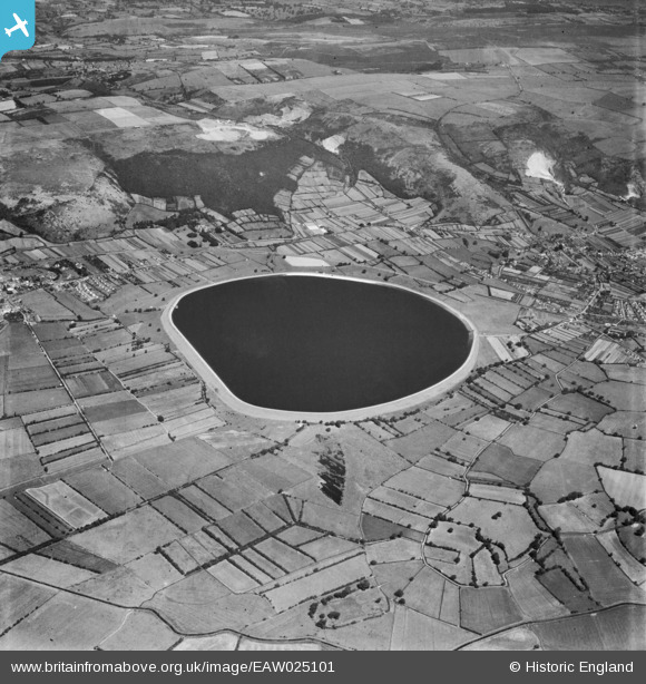
EAW025101 ENGLAND (1949). Cheddar Reservoir, Cheddar, 1949
© Copyright OpenStreetMap contributors and licensed by the OpenStreetMap Foundation. 2026. Cartography is licensed as CC BY-SA.
Nearby Images (4)
EAW025101

EAW025097

EAW025102

EAW025104

Details
| Title | [EAW025101] Cheddar Reservoir, Cheddar, 1949 |
| Reference | EAW025101 |
| Date | 25-July-1949 |
| Link | |
| Place name | CHEDDAR |
| Parish | CHEDDAR |
| District | |
| Country | ENGLAND |
| Easting / Northing | 344135, 153879 |
| Longitude / Latitude | -2.8010694709402, 51.280801525302 |
| National Grid Reference | ST441539 |
Pins
Be the first to add a comment to this image!
User Comment Contributions
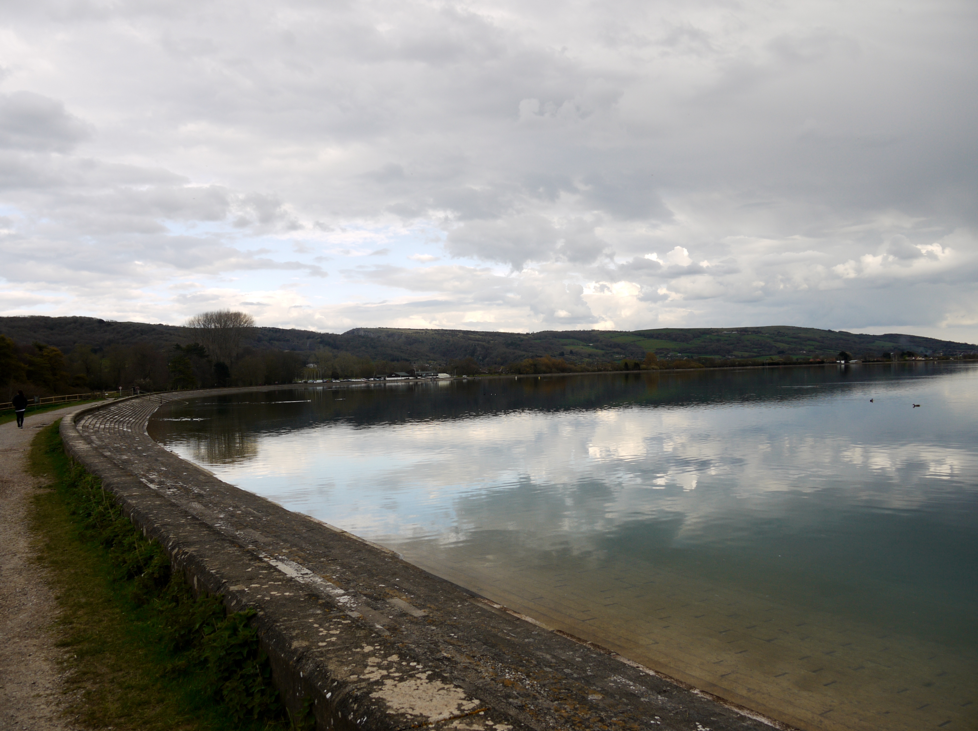
Cheddar Reservoir, 13/04/2016 |

Class31 |
Friday 15th of April 2016 04:59:51 PM |