
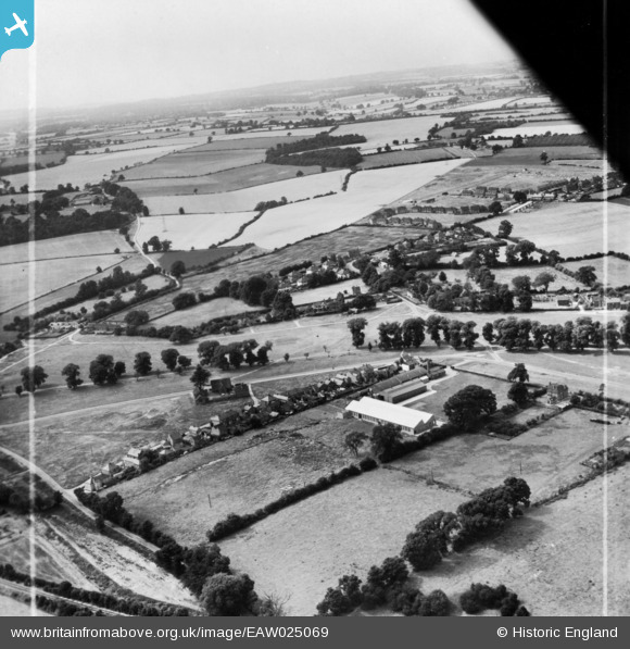
EAW025069 ENGLAND (1949). Extracts Ltd Tea and Coffee Factory and environs, Redbourn, from the east, 1949. This image has been produced from a print marked by Aerofilms Ltd for photo editing.
© Copyright OpenStreetMap contributors and licensed by the OpenStreetMap Foundation. 2026. Cartography is licensed as CC BY-SA.
Nearby Images (16)
EAW025069

EAW049338

EAW025067

EAW025065

EAW049335

EAW025070

EAW049340

EAW049341

EAW049337

EAW025071

EAW049339

EAW049336

EAW025068

EAW025064

EAW049334

EAW025066

Details
| Title | [EAW025069] Extracts Ltd Tea and Coffee Factory and environs, Redbourn, from the east, 1949. This image has been produced from a print marked by Aerofilms Ltd for photo editing. |
| Reference | EAW025069 |
| Date | 22-July-1949 |
| Link | |
| Place name | REDBOURN |
| Parish | REDBOURN |
| District | |
| Country | ENGLAND |
| Easting / Northing | 510469, 211885 |
| Longitude / Latitude | -0.39798105861483, 51.794243428595 |
| National Grid Reference | TL105119 |
Pins
Be the first to add a comment to this image!