
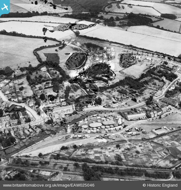
EAW025046 ENGLAND (1949). A fairground between Moor Road and the River Chess at Waterside, Chesham, 1949. This image has been produced from a damaged negative.
© Copyright OpenStreetMap contributors and licensed by the OpenStreetMap Foundation. 2026. Cartography is licensed as CC BY-SA.
Nearby Images (3)
EAW025046

EPW056451

EAW025047

Details
| Title | [EAW025046] A fairground between Moor Road and the River Chess at Waterside, Chesham, 1949. This image has been produced from a damaged negative. |
| Reference | EAW025046 |
| Date | 22-July-1949 |
| Link | |
| Place name | CHESHAM |
| Parish | CHESHAM |
| District | |
| Country | ENGLAND |
| Easting / Northing | 496496, 200862 |
| Longitude / Latitude | -0.60360646518625, 51.697738554943 |
| National Grid Reference | SP965009 |
Pins
Be the first to add a comment to this image!