
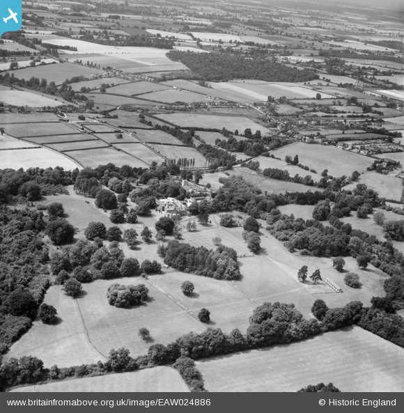
EAW024886 ENGLAND (1949). Elsenham Hall Estate, Elsenham, 1949
© Copyright OpenStreetMap contributors and licensed by the OpenStreetMap Foundation. 2025. Cartography is licensed as CC BY-SA.
Nearby Images (2)
EAW024886

EAW024883

Details
| Title | [EAW024886] Elsenham Hall Estate, Elsenham, 1949 |
| Reference | EAW024886 |
| Date | 21-July-1949 |
| Link | |
| Place name | ELSENHAM |
| Parish | ELSENHAM |
| District | |
| Country | ENGLAND |
| Easting / Northing | 554260, 225936 |
| Longitude / Latitude | 0.24289640426468, 51.91013037224 |
| National Grid Reference | TL543259 |
Pins
Be the first to add a comment to this image!