
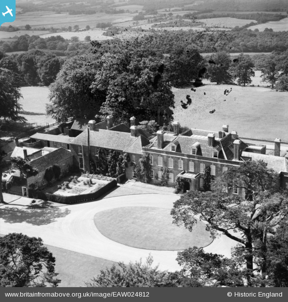
EAW024812 ENGLAND (1949). Mountfield Court, Mountfield, 1949. This image has been produced from a damaged negative.
© Copyright OpenStreetMap contributors and licensed by the OpenStreetMap Foundation. 2026. Cartography is licensed as CC BY-SA.
Nearby Images (3)
EAW024812

EAW024811

EAW024810

Details
| Title | [EAW024812] Mountfield Court, Mountfield, 1949. This image has been produced from a damaged negative. |
| Reference | EAW024812 |
| Date | 12-July-1949 |
| Link | |
| Place name | MOUNTFIELD |
| Parish | MOUNTFIELD |
| District | |
| Country | ENGLAND |
| Easting / Northing | 573573, 120847 |
| Longitude / Latitude | 0.47190850065693, 50.960321228745 |
| National Grid Reference | TQ736208 |
Pins
 |

totoro |
Tuesday 7th of October 2014 06:23:21 PM |