
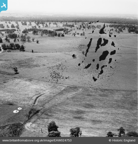
EAW024753 ENGLAND (1949). Cattle in Bagot's Park, Abbots Bromley, 1949. This image has been produced from a damaged negative.
© Copyright OpenStreetMap contributors and licensed by the OpenStreetMap Foundation. 2026. Cartography is licensed as CC BY-SA.
Nearby Images (2)
EAW024753

EAW024752

Details
| Title | [EAW024753] Cattle in Bagot's Park, Abbots Bromley, 1949. This image has been produced from a damaged negative. |
| Reference | EAW024753 |
| Date | 11-July-1949 |
| Link | |
| Place name | ABBOTS BROMLEY |
| Parish | ABBOTS BROMLEY |
| District | |
| Country | ENGLAND |
| Easting / Northing | 409970, 327387 |
| Longitude / Latitude | -1.8519589144072, 52.843571699564 |
| National Grid Reference | SK100274 |
Pins
Be the first to add a comment to this image!