
EAW024673 ENGLAND (1949). The western part of the town, Ipswich, from the south, 1949

© Copyright OpenStreetMap contributors and licensed by the OpenStreetMap Foundation. 2026. Cartography is licensed as CC BY-SA.
Nearby Images (3)
EAW024673

EPW016564

EPW041403

Details
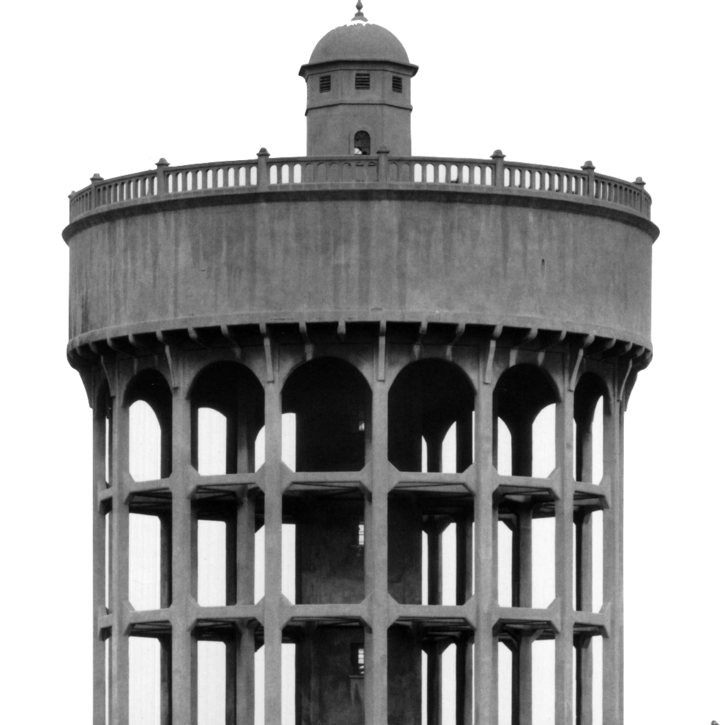
| Title | [EAW024673] The western part of the town, Ipswich, from the south, 1949 |
| Reference | EAW024673 |
| Date | 11-July-1949 |
| Link | |
| Place name | IPSWICH |
| Parish | |
| District | |
| Country | ENGLAND |
| Easting / Northing | 615267, 244206 |
| Longitude / Latitude | 1.1401510993575, 52.053935405625 |
| National Grid Reference | TM153442 |
Pins
Ferrers |
Tuesday 20th of February 2024 07:44:56 PM | |

britannia |
Sunday 28th of June 2020 08:11:05 PM | |
|
britannia |
Sunday 28th of June 2020 08:09:54 PM | |
|
britannia |
Sunday 28th of June 2020 08:08:58 PM | |
|
PhilG |
Thursday 27th of April 2017 12:06:05 AM | |
|
PhilG |
Wednesday 26th of April 2017 11:57:02 PM | |
|
PhilG |
Wednesday 26th of April 2017 11:46:32 PM | |
|
PhilG |
Wednesday 26th of April 2017 11:41:35 PM | |
|
PhilG |
Wednesday 26th of April 2017 11:39:49 PM | |
|
PhilG |
Wednesday 26th of April 2017 11:37:43 PM | |
|
PhilG |
Wednesday 26th of April 2017 11:27:42 PM | |
|
PhilG |
Wednesday 26th of April 2017 11:26:46 PM | |
|
John W |
Saturday 21st of January 2017 04:42:41 PM |