
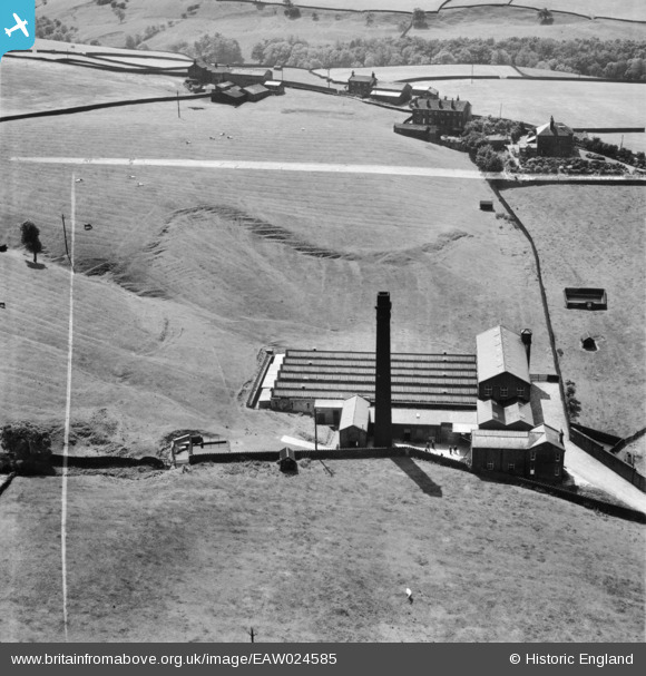
EAW024585 ENGLAND (1949). Carr Mill, Cowling, 1949. This image was marked by Aerofilms Ltd for photo editing.
© Copyright OpenStreetMap contributors and licensed by the OpenStreetMap Foundation. 2026. Cartography is licensed as CC BY-SA.
Nearby Images (7)
EAW024585

EAW024588

EAW024590

EAW024589

EAW024586

EAW024584

EAW024587

Details
| Title | [EAW024585] Carr Mill, Cowling, 1949. This image was marked by Aerofilms Ltd for photo editing. |
| Reference | EAW024585 |
| Date | 7-July-1949 |
| Link | |
| Place name | COWLING |
| Parish | COWLING |
| District | |
| Country | ENGLAND |
| Easting / Northing | 397284, 442919 |
| Longitude / Latitude | -2.041321783968, 53.882251328831 |
| National Grid Reference | SD973429 |
Pins
Be the first to add a comment to this image!