
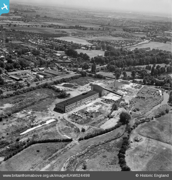
EAW024498 ENGLAND (1949). The Uxbridge Flint Brick Co Ltd Cowley Bridge Works on Iver Lane, Cowley, from the north-west, 1949
© Copyright OpenStreetMap contributors and licensed by the OpenStreetMap Foundation. 2026. Cartography is licensed as CC BY-SA.
Nearby Images (8)
EAW024498

EAW024502

EAW024495

EAW024499

EAW024500

EAW024501

EAW024497

EAW024496

Details
| Title | [EAW024498] The Uxbridge Flint Brick Co Ltd Cowley Bridge Works on Iver Lane, Cowley, from the north-west, 1949 |
| Reference | EAW024498 |
| Date | 9-July-1949 |
| Link | |
| Place name | COWLEY |
| Parish | |
| District | |
| Country | ENGLAND |
| Easting / Northing | 504889, 182512 |
| Longitude / Latitude | -0.48768843607038, 51.531280976879 |
| National Grid Reference | TQ049825 |
Pins

brian |
Friday 24th of January 2014 05:16:57 PM | |
|
brian |
Friday 24th of January 2014 05:14:08 PM | |
|
brian |
Friday 24th of January 2014 05:11:59 PM |