
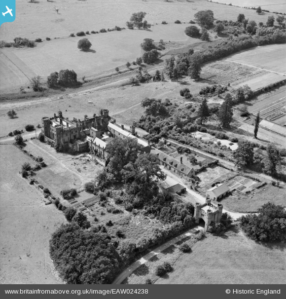
EAW024238 ENGLAND (1949). Sundorne Castle, Uffington, 1949
© Copyright OpenStreetMap contributors and licensed by the OpenStreetMap Foundation. 2026. Cartography is licensed as CC BY-SA.
Nearby Images (5)
EAW024238

EAW024235

EAW024236

EPW040076

EAW024237

Details
| Title | [EAW024238] Sundorne Castle, Uffington, 1949 |
| Reference | EAW024238 |
| Date | 27-June-1949 |
| Link | |
| Place name | UFFINGTON |
| Parish | UFFINGTON |
| District | |
| Country | ENGLAND |
| Easting / Northing | 352758, 315237 |
| Longitude / Latitude | -2.6996982658916, 52.73236501441 |
| National Grid Reference | SJ528152 |
Pins
Be the first to add a comment to this image!