
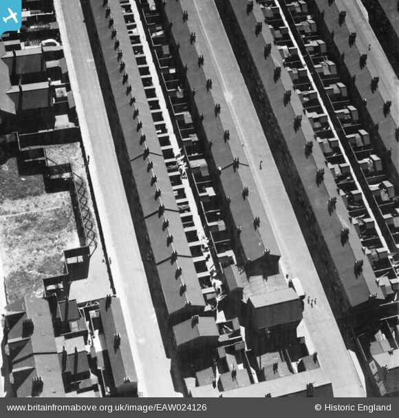
EAW024126 ENGLAND (1949). Theodore Street and Letitia Street, Middlesbrough, 1949
© Copyright OpenStreetMap contributors and licensed by the OpenStreetMap Foundation. 2026. Cartography is licensed as CC BY-SA.
Nearby Images (5)
EAW024126

EPW042125

EAW024129
 Bridge, Middlesbrough, 1949")
EPW042126

EAW024130
 Bridge, Middlesbrough, 1949")
Details
| Title | [EAW024126] Theodore Street and Letitia Street, Middlesbrough, 1949 |
| Reference | EAW024126 |
| Date | 22-June-1949 |
| Link | |
| Place name | MIDDLESBROUGH |
| Parish | |
| District | |
| Country | ENGLAND |
| Easting / Northing | 448034, 519655 |
| Longitude / Latitude | -1.2569506948643, 54.56970891171 |
| National Grid Reference | NZ480197 |
Pins

morbidthepoet |
Thursday 1st of November 2018 08:06:00 PM |
User Comment Contributions

Theodore Street and Letitia Street, Middlesbrough, 1949 |
Ali |
Friday 6th of June 2014 11:08:41 PM |