
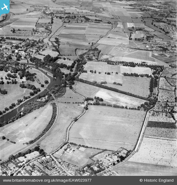
EAW023977 ENGLAND (1949). Agars Plough playing fields and environs, Eton, 1949. This image has been produced from a damaged negative.
© Copyright OpenStreetMap contributors and licensed by the OpenStreetMap Foundation. 2026. Cartography is licensed as CC BY-SA.
Nearby Images (3)
EAW023977

EPW022609

EAW023976

Details
| Title | [EAW023977] Agars Plough playing fields and environs, Eton, 1949. This image has been produced from a damaged negative. |
| Reference | EAW023977 |
| Date | 23-June-1949 |
| Link | |
| Place name | ETON |
| Parish | ETON |
| District | |
| Country | ENGLAND |
| Easting / Northing | 497511, 178285 |
| Longitude / Latitude | -0.5951997731679, 51.4946039458 |
| National Grid Reference | SU975783 |
Pins

designking |
Monday 14th of September 2020 10:48:11 PM | |
|
designking |
Monday 14th of September 2020 10:46:37 PM | |
|
designking |
Monday 14th of September 2020 10:46:02 PM | |
|
designking |
Monday 14th of September 2020 10:45:20 PM | |
|
designking |
Monday 14th of September 2020 10:41:10 PM | |
|
designking |
Monday 14th of September 2020 10:36:47 PM | |
|
G* |
Monday 14th of September 2020 05:12:08 PM | |
|
dave43 |
Sunday 9th of March 2014 08:44:12 PM | |
|
dave43 |
Sunday 9th of March 2014 08:43:36 PM | |
|
dave43 |
Sunday 9th of March 2014 08:40:23 PM | |
|
dave43 |
Sunday 9th of March 2014 08:39:50 PM | |
|
dave43 |
Sunday 9th of March 2014 08:39:04 PM |