
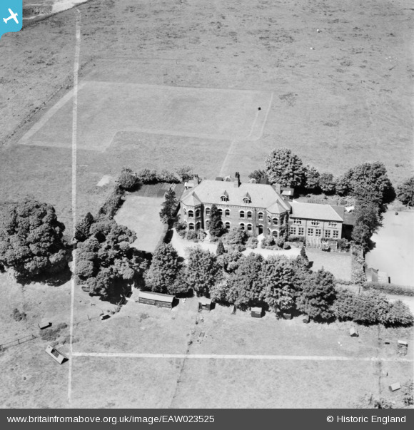
EAW023525 ENGLAND (1949). St Olave's Preparatory School, Ripon, 1949. This image was marked by Aerofilms Ltd for photo editing.
© Copyright OpenStreetMap contributors and licensed by the OpenStreetMap Foundation. 2025. Cartography is licensed as CC BY-SA.
Nearby Images (4)
EAW023525

EAW023526

EAW023528

EAW023527

Details
| Title | [EAW023525] St Olave's Preparatory School, Ripon, 1949. This image was marked by Aerofilms Ltd for photo editing. |
| Reference | EAW023525 |
| Date | 28-May-1949 |
| Link | |
| Place name | RIPON |
| Parish | RIPON |
| District | |
| Country | ENGLAND |
| Easting / Northing | 430454, 470263 |
| Longitude / Latitude | -1.5339370584237, 54.127143348927 |
| National Grid Reference | SE305703 |
Pins
Be the first to add a comment to this image!