
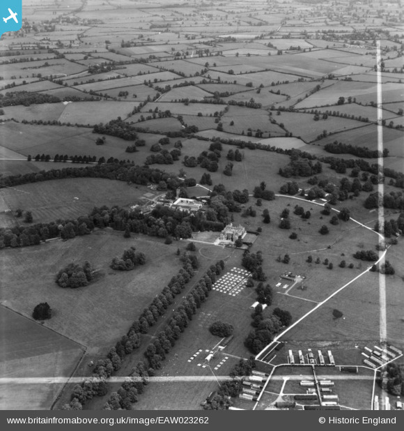
EAW023262 ENGLAND (1949). Charlton Park and the surrounding countryside, Charlton, 1949. This image has been produced from a print marked by Aerofilms Ltd for photo editing.
© Copyright OpenStreetMap contributors and licensed by the OpenStreetMap Foundation. 2026. Cartography is licensed as CC BY-SA.
Nearby Images (4)
EAW023262

EAW023260

EAW023261

EAW023263

Details
| Title | [EAW023262] Charlton Park and the surrounding countryside, Charlton, 1949. This image has been produced from a print marked by Aerofilms Ltd for photo editing. |
| Reference | EAW023262 |
| Date | 23-May-1949 |
| Link | |
| Place name | CHARLTON |
| Parish | CHARLTON |
| District | |
| Country | ENGLAND |
| Easting / Northing | 395249, 189353 |
| Longitude / Latitude | -2.0686062682118, 51.602524995917 |
| National Grid Reference | ST952894 |
Pins

Matt Aldred edob.mattaldred.com |
Friday 3rd of June 2022 01:40:06 PM |