
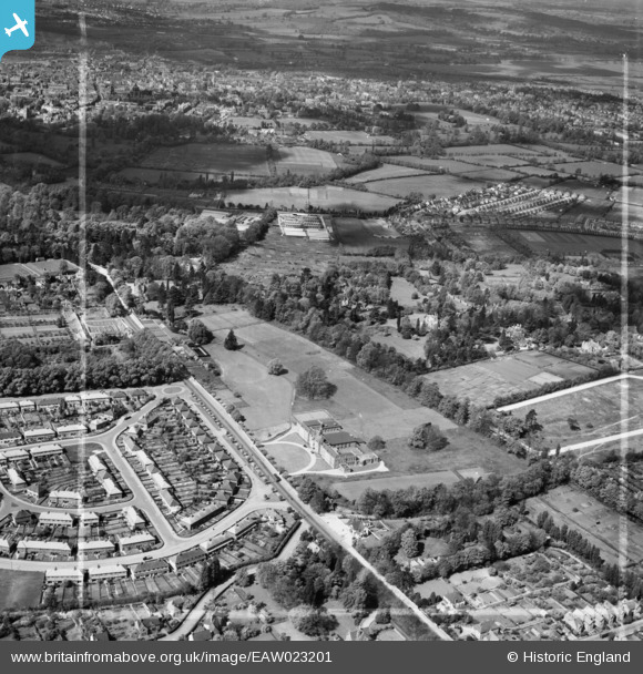
EAW023201 ENGLAND (1949). Headington School and environs, Headington, from the east, 1949. This image was marked by Aerofilms Ltd for photo editing.
© Copyright OpenStreetMap contributors and licensed by the OpenStreetMap Foundation. 2026. Cartography is licensed as CC BY-SA.
Nearby Images (9)
EAW023201

EPW050487

EAW003908

EAW023200

EAW023203

EAW049094

EAW023202

EAW003909

EPW022538

Details
| Title | [EAW023201] Headington School and environs, Headington, from the east, 1949. This image was marked by Aerofilms Ltd for photo editing. |
| Reference | EAW023201 |
| Date | 6-May-1949 |
| Link | |
| Place name | HEADINGTON |
| Parish | |
| District | |
| Country | ENGLAND |
| Easting / Northing | 453881, 206806 |
| Longitude / Latitude | -1.2192819380117, 51.756893809054 |
| National Grid Reference | SP539068 |
Pins

David Brimson |
Wednesday 2nd of July 2025 07:53:18 PM | |
|
ndaisley |
Friday 13th of December 2019 11:45:48 AM | |
|
ndaisley |
Friday 13th of December 2019 11:44:26 AM | |
|
Sarah Jessop |
Tuesday 26th of January 2016 01:14:17 PM |