
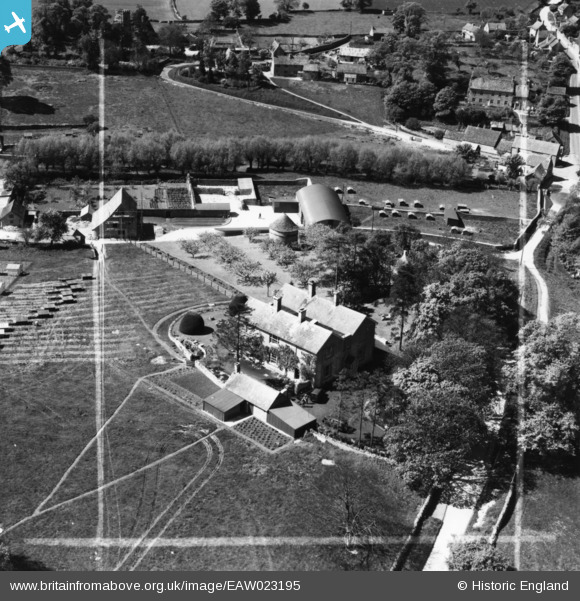
EAW023195 ENGLAND (1949). The Manor, Shilton, 1949. This image has been produced from a print marked by Aerofilms Ltd for photo editing.
© Copyright OpenStreetMap contributors and licensed by the OpenStreetMap Foundation. 2026. Cartography is licensed as CC BY-SA.
Nearby Images (5)
EAW023195

EAW023197

EAW023198

EAW023196

EAW023199

Details
| Title | [EAW023195] The Manor, Shilton, 1949. This image has been produced from a print marked by Aerofilms Ltd for photo editing. |
| Reference | EAW023195 |
| Date | 6-May-1949 |
| Link | |
| Place name | SHILTON |
| Parish | SHILTON |
| District | |
| Country | ENGLAND |
| Easting / Northing | 426872, 208528 |
| Longitude / Latitude | -1.6104856217503, 51.774325563809 |
| National Grid Reference | SP269085 |
Pins
Be the first to add a comment to this image!