
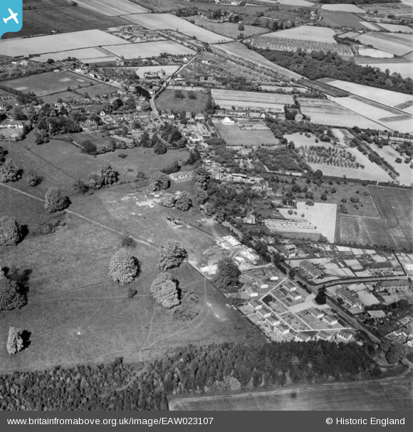
EAW023107 ENGLAND (1949). The village, Halstead, 1949
© Copyright OpenStreetMap contributors and licensed by the OpenStreetMap Foundation. 2026. Cartography is licensed as CC BY-SA.
Nearby Images (2)
EAW023107

EAW023108

Details
| Title | [EAW023107] The village, Halstead, 1949 |
| Reference | EAW023107 |
| Date | 10-May-1949 |
| Link | |
| Place name | HALSTEAD |
| Parish | HALSTEAD |
| District | |
| Country | ENGLAND |
| Easting / Northing | 548666, 160901 |
| Longitude / Latitude | 0.13402367633186, 51.327247140132 |
| National Grid Reference | TQ487609 |

