
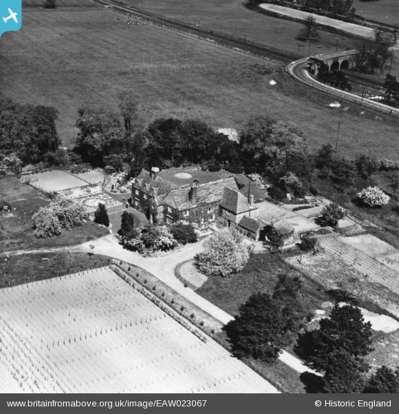
EAW023067 ENGLAND (1949). Howfield Manor, Chartham, 1949. This image has been produced from a print.
© Copyright OpenStreetMap contributors and licensed by the OpenStreetMap Foundation. 2026. Cartography is licensed as CC BY-SA.
Nearby Images (5)
EAW023067

EAW023065

EAW023066

EAW023085

EAW023084

Details
| Title | [EAW023067] Howfield Manor, Chartham, 1949. This image has been produced from a print. |
| Reference | EAW023067 |
| Date | 10-May-1949 |
| Link | |
| Place name | CHARTHAM |
| Parish | CHARTHAM |
| District | |
| Country | ENGLAND |
| Easting / Northing | 611745, 156086 |
| Longitude / Latitude | 1.0354724233797, 51.264026540927 |
| National Grid Reference | TR117561 |
Pins
Be the first to add a comment to this image!