
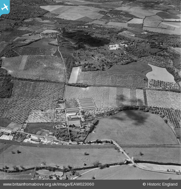
EAW023060 ENGLAND (1949). Howfield Farm and orchards, Chartham, 1949
© Copyright OpenStreetMap contributors and licensed by the OpenStreetMap Foundation. 2026. Cartography is licensed as CC BY-SA.
Nearby Images (2)
EAW023060

EAW023084

Details
| Title | [EAW023060] Howfield Farm and orchards, Chartham, 1949 |
| Reference | EAW023060 |
| Date | 10-May-1949 |
| Link | |
| Place name | CHARTHAM |
| Parish | CHARTHAM |
| District | |
| Country | ENGLAND |
| Easting / Northing | 611440, 156341 |
| Longitude / Latitude | 1.0312574375339, 51.266429725358 |
| National Grid Reference | TR114563 |
Pins
Be the first to add a comment to this image!