
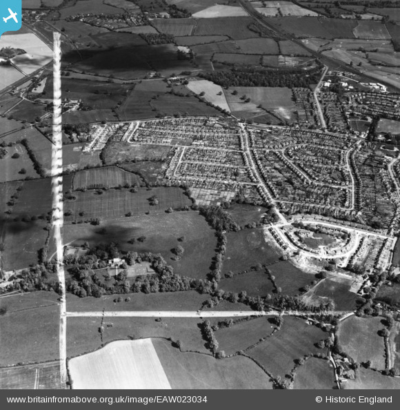
EAW023034 ENGLAND (1949). Housing estate, Potters Bar, 1949. This image has been produced from a print marked by Aerofilms Ltd for photo editing.
© Copyright OpenStreetMap contributors and licensed by the OpenStreetMap Foundation. 2026. Cartography is licensed as CC BY-SA.
Nearby Images (7)
EAW023034

EAW023030

EAW023037

EAW023035

EAW023036

EAW023033

EAW023031

Details
| Title | [EAW023034] Housing estate, Potters Bar, 1949. This image has been produced from a print marked by Aerofilms Ltd for photo editing. |
| Reference | EAW023034 |
| Date | 10-May-1949 |
| Link | |
| Place name | POTTERS BAR |
| Parish | |
| District | |
| Country | ENGLAND |
| Easting / Northing | 523730, 201239 |
| Longitude / Latitude | -0.20955408631566, 51.695783414916 |
| National Grid Reference | TL237012 |
