
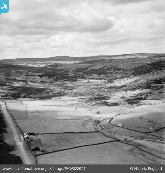
EAW022997 ENGLAND (1949). Burnhope Burn, Harehope Hall, from the north-east, 1949
© Copyright OpenStreetMap contributors and licensed by the OpenStreetMap Foundation. 2026. Cartography is licensed as CC BY-SA.
Nearby Images (2)
EAW022997

EAW022998

Details
| Title | [EAW022997] Burnhope Burn, Harehope Hall, from the north-east, 1949 |
| Reference | EAW022997 |
| Date | 9-May-1949 |
| Link | |
| Place name | HAREHOPE HALL |
| Parish | MUGGLESWICK |
| District | |
| Country | ENGLAND |
| Easting / Northing | 400922, 549232 |
| Longitude / Latitude | -1.9856431214418, 54.837817091666 |
| National Grid Reference | NZ009492 |
Pins
Be the first to add a comment to this image!