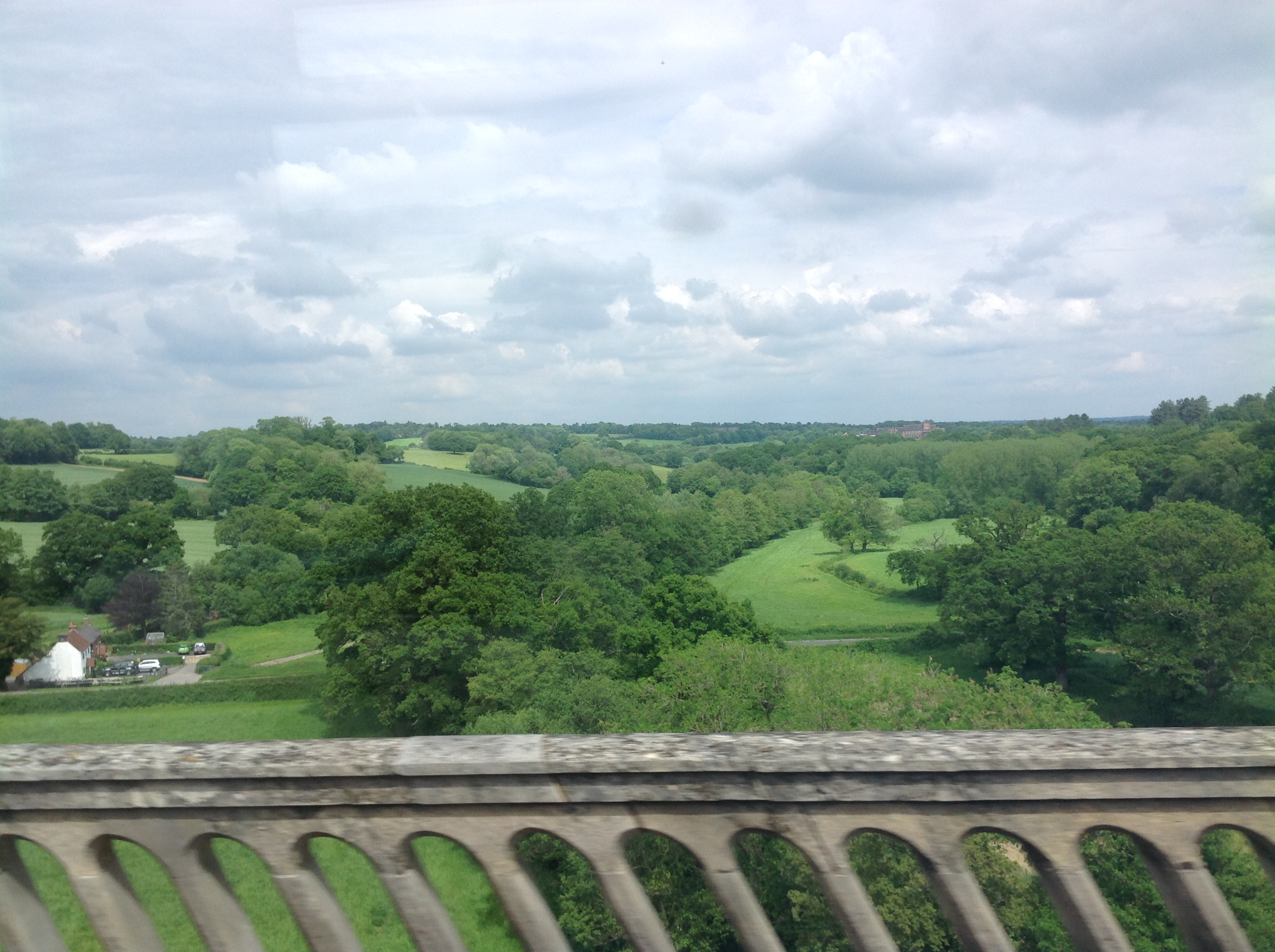
EAW022734 ENGLAND (1949). The Ouse Valley Viaduct, Brook Street, 1949

© Copyright OpenStreetMap contributors and licensed by the OpenStreetMap Foundation. 2026. Cartography is licensed as CC BY-SA.
Nearby Images (2)
EAW022734

EAW022733

Details
| Title | [EAW022734] The Ouse Valley Viaduct, Brook Street, 1949 |
| Reference | EAW022734 |
| Date | 29-April-1949 |
| Link | |
| Place name | BROOK STREET |
| Parish | ANSTY AND STAPLEFIELD |
| District | |
| Country | ENGLAND |
| Easting / Northing | 532434, 127585 |
| Longitude / Latitude | -0.11111428660952, 51.031812839148 |
| National Grid Reference | TQ324276 |
Pins
Be the first to add a comment to this image!