
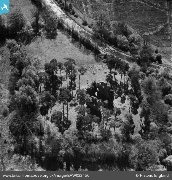
EAW022456 ENGLAND (1949). Odiham Castle, North Warnborough, 1949
© Copyright OpenStreetMap contributors and licensed by the OpenStreetMap Foundation. 2026. Cartography is licensed as CC BY-SA.
Nearby Images (4)
EAW022456

EAW035282

EAW022457

EAW035283

Details
| Title | [EAW022456] Odiham Castle, North Warnborough, 1949 |
| Reference | EAW022456 |
| Date | 22-April-1949 |
| Link | |
| Place name | NORTH WARNBOROUGH |
| Parish | ODIHAM |
| District | |
| Country | ENGLAND |
| Easting / Northing | 472566, 151880 |
| Longitude / Latitude | -0.95989193254712, 51.260944667358 |
| National Grid Reference | SU726519 |
Pins
Be the first to add a comment to this image!